Google Maps Gallery
Google Maps provides the same imagery as Google Earth in a Web application, and enables you to create a Google My Map using your Google account. My Maps contents can also be viewed in Google Earth, and then saved as KML files. My Maps links can shared via E-mailed or embedded in a Web page. Google Maps provides an alternative to GIS for quickly viewing cave and karst features and sharing information with others, however public Google My Maps can be viewed by anyone, so should not be used for sensitive data. Google's policy on data rights and ownership should also be reviewed prior to using My Maps.
Click the thumbnail to view a larger image. All maps and images by: B. W. Szukalski.
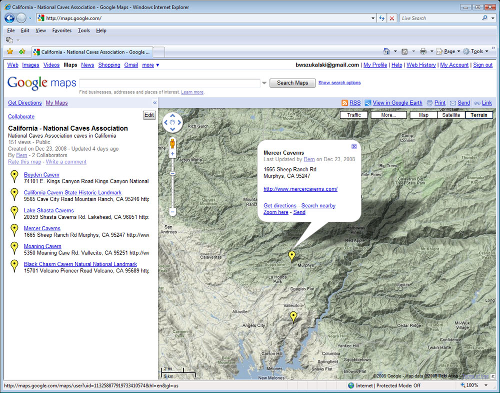
CAVE LOCATIONS IN GOOGLE MY MAPS
Here we've used My Maps to place locations of commercial caves on our map. To create your own map you'll need to use your Google account to login first. Google Maps tools were used to locate and place pushpins, and the description for each was edited to include links to the commercial cave's Web site. The map can be shared with others, and you can also allow others the ability to edit your map contents. Google My Maps offers satellite, streets, and terrain basemaps that can be toggled by clicking a row of buttons along the top.
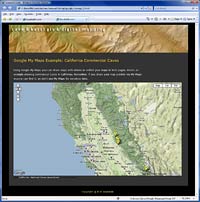
MY MAPS EMBEDDED IN WEB PAGE
In this example the same map as described above has been embedded in a Web page. Google My Maps provides styling options and automatically generates the HTML needed to embed the map providing a quick and easy solution to add dynamic maps to any Web site. Just copy the HTML, and paste it into the page. The map is placed as an IFRAME and you can edit the IFRAME tags to further tweak it for your tastes once it's in your page.
Click the thumbnail to view a sample Web page with the embedded My Map.